Residential. Commercial. Industrial.
By utilizing state of the art equipment and technology, we are able to provide the most accurate and reliable data for your project.
Civil Engineering and Design Services

Residential Surveying Services

  • Industrial Surveying
  • Construction Staking & Grading
  • Mapping Services
  • Topographic Surveys
  • Construction Layout and Staking
  • Pipeline Route Surveys
  • Right-of-way Surveys
  • Control Surveying
Land Surveying Services

Commercial & Industrial Surveying Services

  • Oil and Gas Well Surveying
  • Monitor Well Surveys
  • Robotic Machine Control Surveying
  • Lease Mapping
  • Telecommunication Site Surveys
  • Commercial Site Surveying/Planning
  • Subdivision Surveying/Planning
Aerial and Mobile LiDAR and Photogrammetry

Aerial/Mobile/Terrestrial LiDAR and Photogrammetry

  • Resolution & Accuracy: LiDAR generates instantaneous, massive amounts of measurements, and can be accurate to a centimeter
  • 3D Mapping: LiDAR data can be easily converted into 3D maps to interpret the environment
  • Low Light Performance: LiDAR is unaffected by ambient light variations, and performs well in low any light conditions;
  • Speed: LiDAR data are direct distance measurements that don’t need to be deciphered or interpreted– thus enabling faster performance and reducing processing requirement

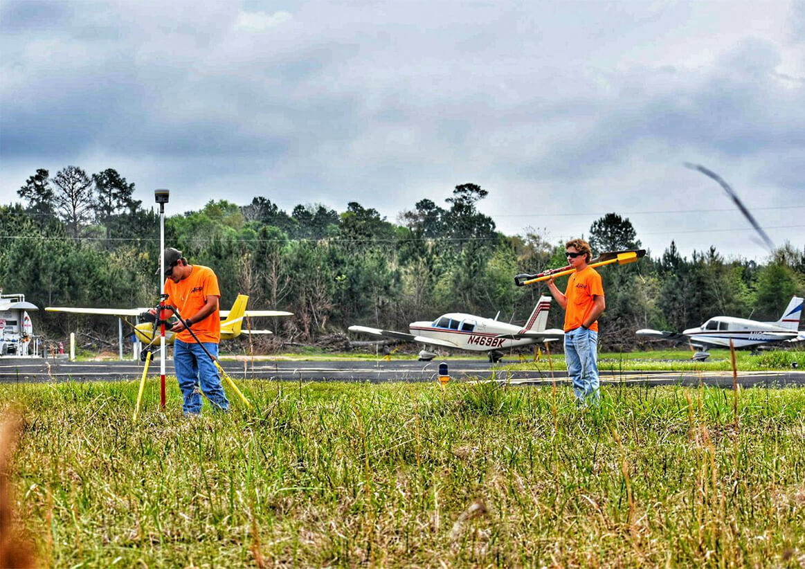
“Access Surveyors quickly became our ‘go-to’ surveying company on-site and assumed responsibilities as the primary surveying company providing reliable reports in a timely fashion. Their ability to provide skilled surveyors with state-of-the-art equipment that have exposure to fast pace, expedited, heavy industrial project sets them apart from their competition.”
Jesse Hammes, Sr. Project Manager
The Weitz Company